 Skip to main content
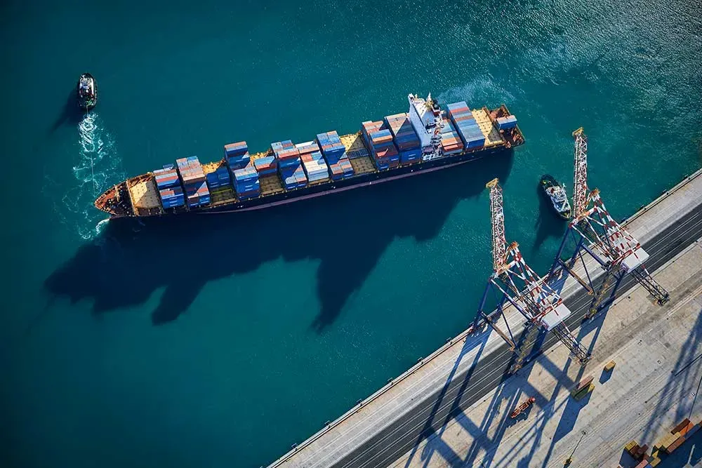
From ship to shore
Supporting safe navigation is at the heart of what we do. Trusted by customers and partners worldwide, we offer quality, innovative maritime navigation solutions through our network of ADMIRALTY Distributors.
ADMIRALTY Vector Chart Service
Explore our world-leading ENC service and access the latest updates and support you need.
ADMIRALTY e-Nautical Publications
We offer updatable, electronic versions of our official ADMIRALTY Nautical Publications.
Find out more about our world-leading publications as e-books.
ADMIRALTY Digital Publications
Bringing simplicity, flexibility and speed to passage planning and navigation. Discover our range of digital publications.
Safety warnings and notices
Get the latest safety information and notices from UKHO.

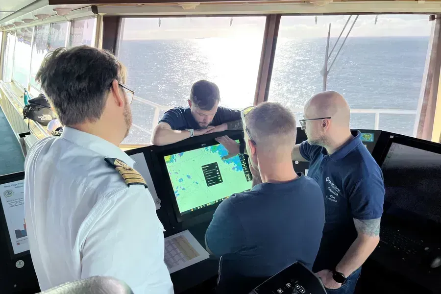
S-100: Shaping the future of navigation
S-100 is a new data framework that will underpin the next generation of navigation technologies.
The UK Hydrographic Office is at the forefront of developing S-100 solutions by developing and testing new data standards and conducting real-world sea trials.
Discover how the next generation of data standards will transform the way decisions are made from ship to shore.

Decarbonisation
Find out about how the UKHO has been supporting initiatives to help achieve the industry's decarbonisation goals.
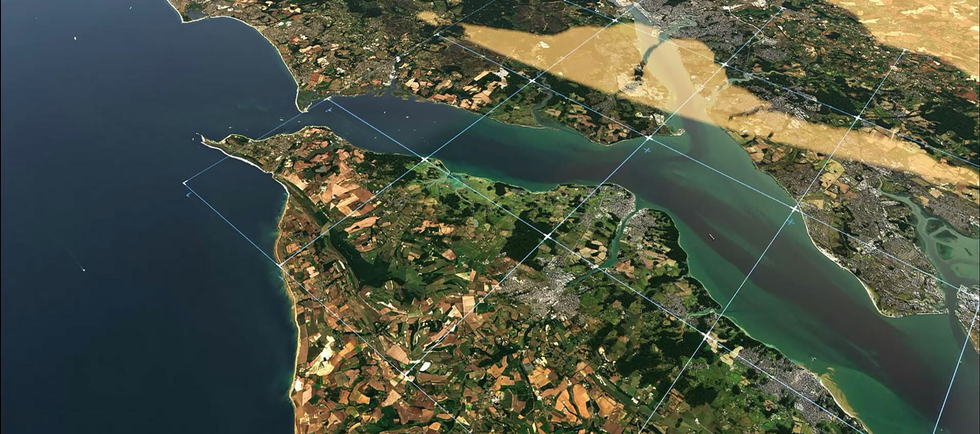
Discover our data
We hold a wide range of data gathered from a range of expert providers. This data is sourced by working closely with government organisations, hydrographic offices and other partners around the world.
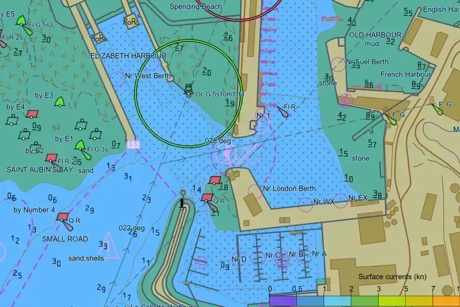
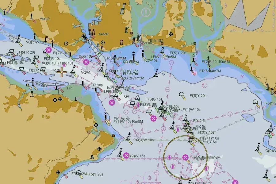
Marine data sets
We hold a wealth of marine geospatial data from seabed to surface, offshore and beyond. Through the ADMIRALTY Marine Data Portal, users can access extensive data on bathymetry, wrecks and obstructions, ships' routeing, maritime limits and offshore infrastructure.
Seabed mapping
We offer a range of seabed mapping data and services - from the depth of the seafloor to its composition.
Tidal data
Our UK tidal database contains height data from over 600 tidal gauges around the UK, making up the UK's largest network of tidal stations. The database also includes over 40 stations in the Environment Agency's UK National Tidal Network and stations from port authorities at many of the UK's primary and secondary ports.
Astronomical data
His Majesty's Nautical Almanac Office (HMNAO) is a small team within the UKHO which provide astronomical and celestial information through specialist products and services.
S-100 trial data
With more data being collected and shared across the maritime and geospatial industries than ever before, having a common set of standards is key to making this data accessible, compatible and valuable to those using it both now and in the future.
In support of the development, testing and use of future S-100 products and services, we’ve created a range of S-100 trial data sets that are free to download.