Overview

Providing greater awareness in restricted sea room

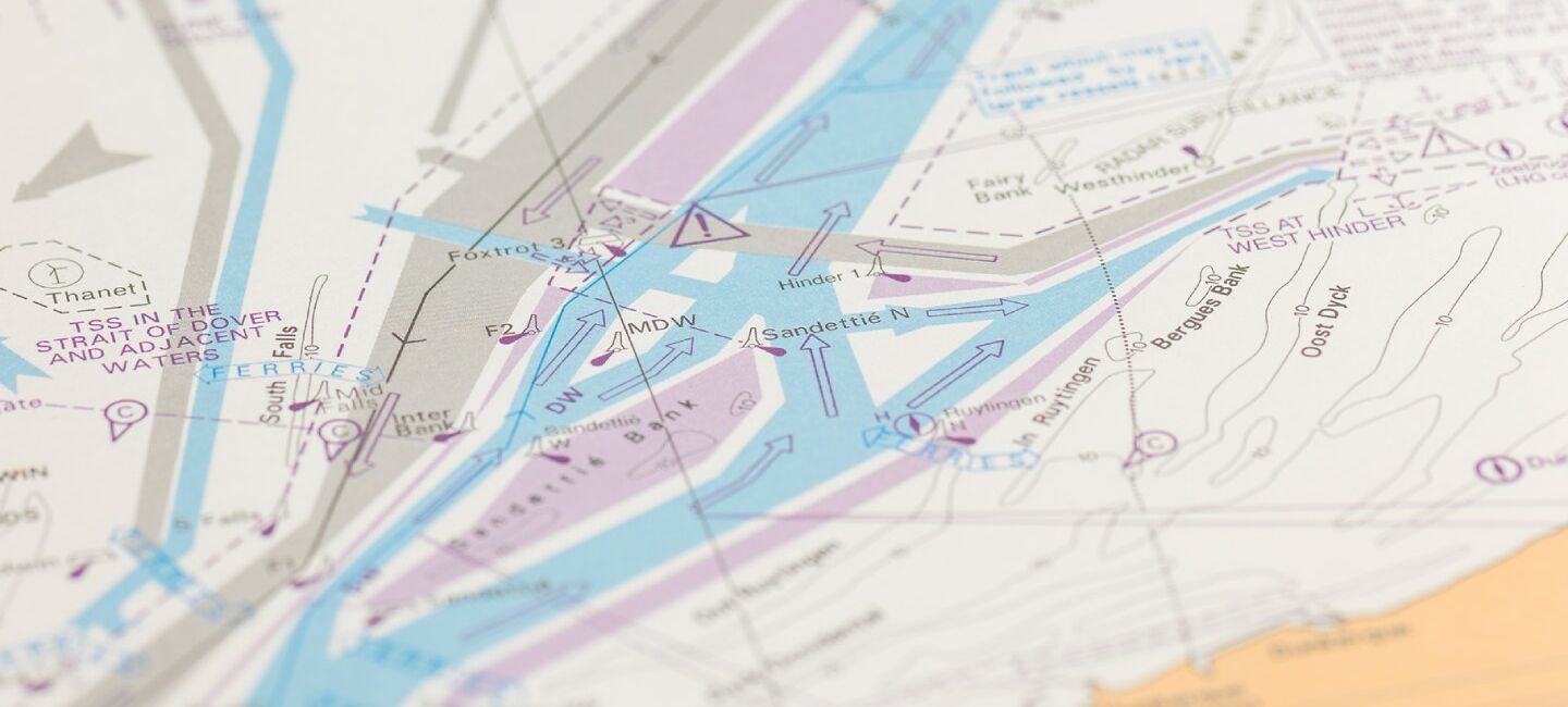
Mariners' Routeing Guides provide essential routeing information to help bridge crews safely navigate through some of the world’s busiest and most complex shipping routes.


Essential routeing information

Body

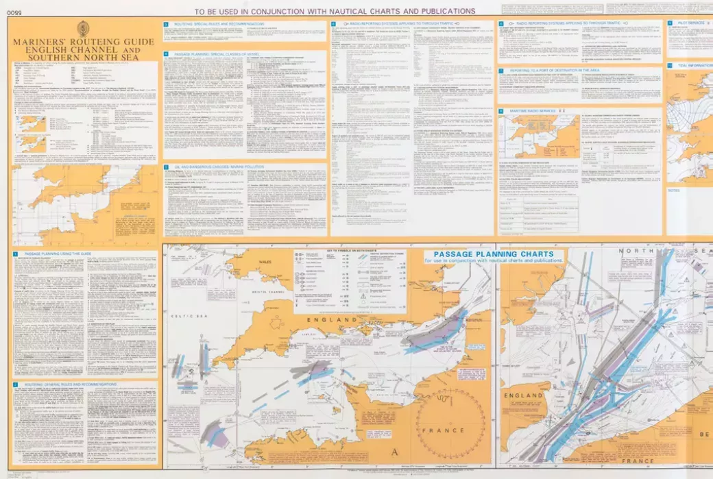
Each Mariners' Routeing Guide contains essential routeing information including:

  • ​​​Verified information highlighting dangers or warnings to navigation, limited depths and dense traffic areas. This additional information, when used alongside official nautical charts, can help to increase situational awareness and reduce the risk of damage caused by collisions and groundings
  • Clear guidance on traffic separation schemes and routeing measures that have been adopted by the IMO and national authorities
  • Weekly updates and new editions to help maintain high levels of accuracy and safety
Preview of mariners' routeing guide

Coverage

The expanding range covers the Malacca and Singapore Straits, English Channel and Dover Strait, Southern North Sea, Irish Sea, Baltic Sea, Adriatic Sea, Turkish Straits including Strait of Istanbul and Strait of Çanakkale, Gulf of Suez, Gulf of Mexico, Panama Canal and Tokyo Wan.

Buy Mariners' Routeing Guides

Body

Please contact your ADMIRALTY Distributor to discuss the right package of publications for you and the appropriate pricing model. If you don’t have a preferred distributor, then you can search a list of worldwide ADMIRALTY Distributors on our find an ADMIRALTY Distributor page.​

Updates

We provide regular ADMIRALTY Notices to Mariners (NMs) to help you ensure your ADMIRALTY publications are maintained and up-to-date with the latest safety critical information.

These weekly NMs can be downloaded for free from our website, or the paper bulletin can be bought from your ADMIRALTY Distributor.