Overview

Essential information for use in passage planning

ADMIRALTY Routeing Charts provide shipping routes and distances between major ports and important information on seasonal changes, detailing expected weather and ocean conditions for each month of the year. 

A chart for each month of the year

Body

To cover weather conditions that change throughout the year, each region has 12 separate charts (one per calendar month). Specific information includes:

  • Positions of major ports and recognised shipping routes - and distances between them
  • Wind roses showing wind speed and direction
  • Frequency and intensity of storms and low visibility
  • Sea and air temperature, air pressure and ice limits (based on data averages)
  • Ocean currents
  • Limits of loadline zones
Preview of North Atlantic routeing chart

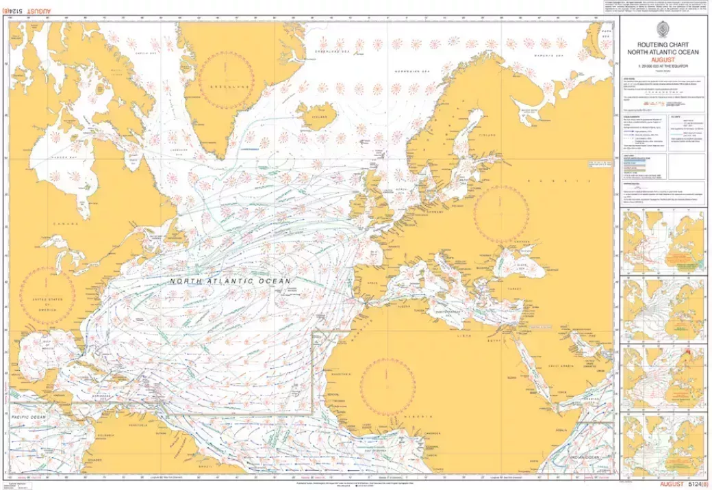
A range of scales to support route planning

Small-scale charts are available to support high-level route planning, coverage oceans of the world including the North Atlantic, South Atlantic, North Pacific, South Pacific and Indian Ocean.

Fore areas of dense traffic, a range of larger-scale routeing charts are available at scales of 1.5M and 1.10M. 

View Routeing Charts limits

Buy Routeing Charts

Body

To find out more information or to organise purchase, please contact your ADMIRALTY Distributor. If you don’t have a preferred distributor, you can search a list of experienced and trusted distributors worldwide on our find an ADMIRALTY Distributor page​.

Updates

We provide regular ADMIRALTY Notices to Mariners (NMs) to help you ensure your ADMIRALTY publications are maintained and up-to-date with the latest safety critical information.

These weekly NMs can be downloaded for free from our website, or the paper bulletin can be bought from your ADMIRALTY Distributor.