Harnessing the power of expert skills and knowledge in the service of Governments, businesses and other organisations
The UK Hydrographic Office (UKHO) is a world-leading centre for hydrography and marine geospatial data that helps Governments, businesses and academia, to unlock a deeper understanding of the world's oceans and inform top-level decision-making.
Our expert knowledge, specialist skills, and world-leading capabilities in marine geospatial data acquisition, verification, and management places us in an exceptional position to support customers beyond navigation.
Whether it’s the UK Government seeking to tackle climate change or understand and mitigate the impact of coastal inundation, a Foreign Government Hydrographic Office, a shipping company seeking to understand the latest navigational or geospatial data management standards, or a private organisation seeking data to support a complex marine and coastal engineering project, our range of professional services can help.
Consisting of customisable, knowledge-based offerings, our professional services are underpinned by the following key capabilities:
- Training
- Consultancy
- Data Collection
- Data Services
- SME Representation
We understand the needs and goals of our customer can vary greatly, and this is why the UK Hydrographic Office offers services which are tailored to the exact requirements and objectives of each customer. Why not get in touch with us to discuss how we can harness our services to support in the successful delivery of your projects?
Training
The UK Hydrographic Office has a proven track record of providing valuable training courses to a wide range of audiences from Foreign Hydrographic Offices to students and business executives, on topics such as paper and Electronic Navigational Chart compilation and verification, marine geospatial data assessment and management, S-100 standards, satellite imagery analysis and its applications, NATO and IHO standards, and law of the sea technical training, amongst others.
Consultancy
The UK Hydrographic Office provides high-level advisory and consultancy services for Government agencies and businesses that need to access specialised senior hydrography, marine geospatial and data science expertise to advise on key issues affecting their business and shaping their objectives.
Data Collection
The UK Hydrographic Office is a world-leader in marine survey services, with a heritage that dates back to 1795, through to our pioneering role in the deployment of innovative survey techniques. Today, we receive around 400 hydrographic surveys a year, in various forms, including those from the Royal Navy survey vessels, contract survey companies, and other private contractors and developers.
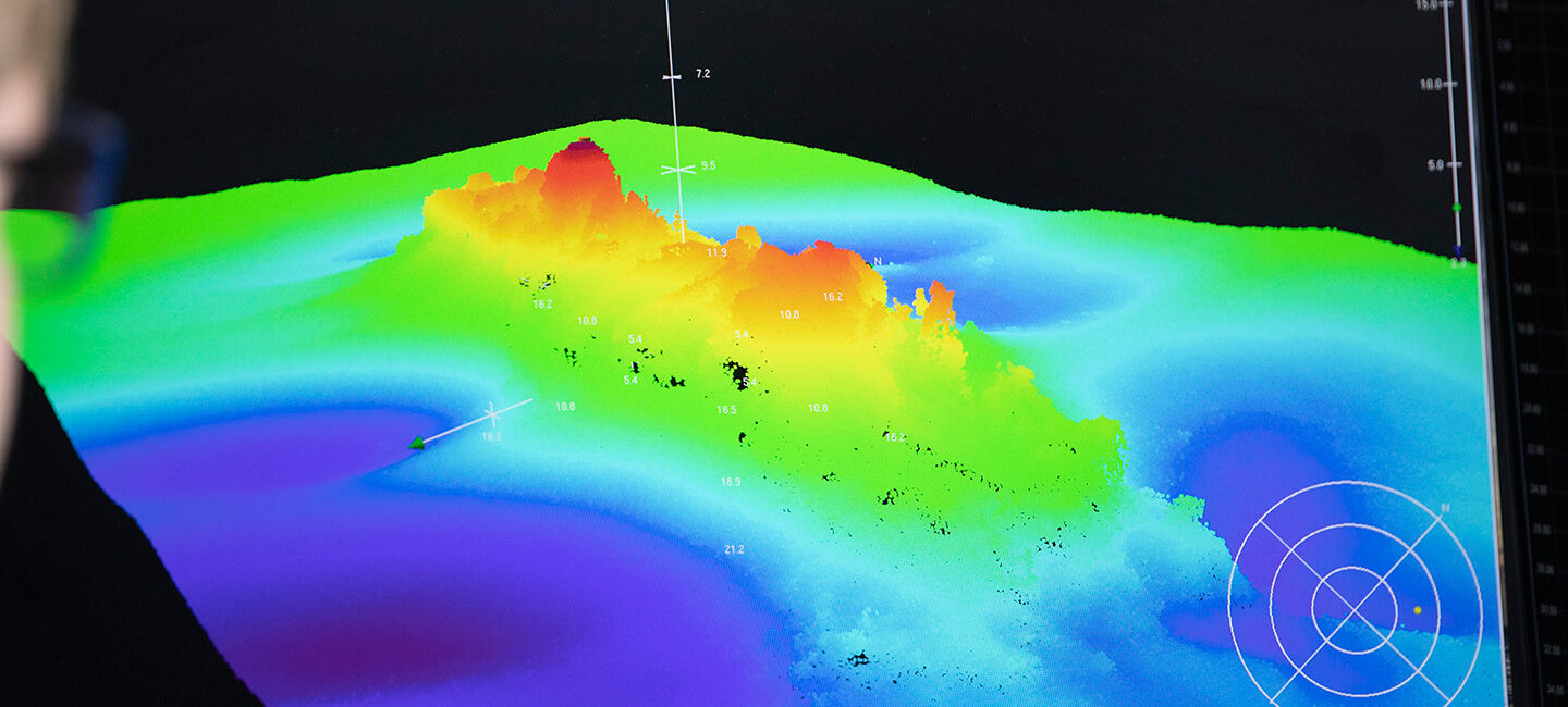
The delivery of bathymetric survey services is at the core of our capability offerings. With expertise in every stage of the process, from developing survey specifications and managing data collection, through to the processing, validation and management of data within our systems, and ultimately making data available through services such as bespoke data sets.
Data Services
Working with a wide range of partners, we source, process and provide access to marine geospatial data, ranging from seabed to surface, and covering open ocean into the intertidal and coastal zones.
By utilising our expert data science, AI, and data management capabilities we are able to produce bespoke, non-navigational data sets such as global mangroves, AIS heat maps, and satellite derived coastline for use in projects ranging from coastal restoration, risk mitigation, and voyage optimisation.
SME Representation
The UK Hydrographic Office team includes world-renowned experts and thought leaders in the fields of hydrography, bathymetry, marine geospatial data, law of the sea, and data science. Our experts are committed to contributing to the development and up-skilling of our industry by speaking, moderating, presenting and adding value to relevant events, conferences and seminars.


