We deliver quality, innovative maritime navigation solutions, trusted by customers and partners worldwide, through our ADMIRALTY portfolio, which is relied upon by over 90% of large ships trading internationally to support safe, efficient and compliant global trade.
This is underpinned by the work undertaken by our experts, in partnership with a range of organisations worldwide, to source, process and publish hydrographic and marine geospatial data from seabed to surface and beyond.
What is hydrography?
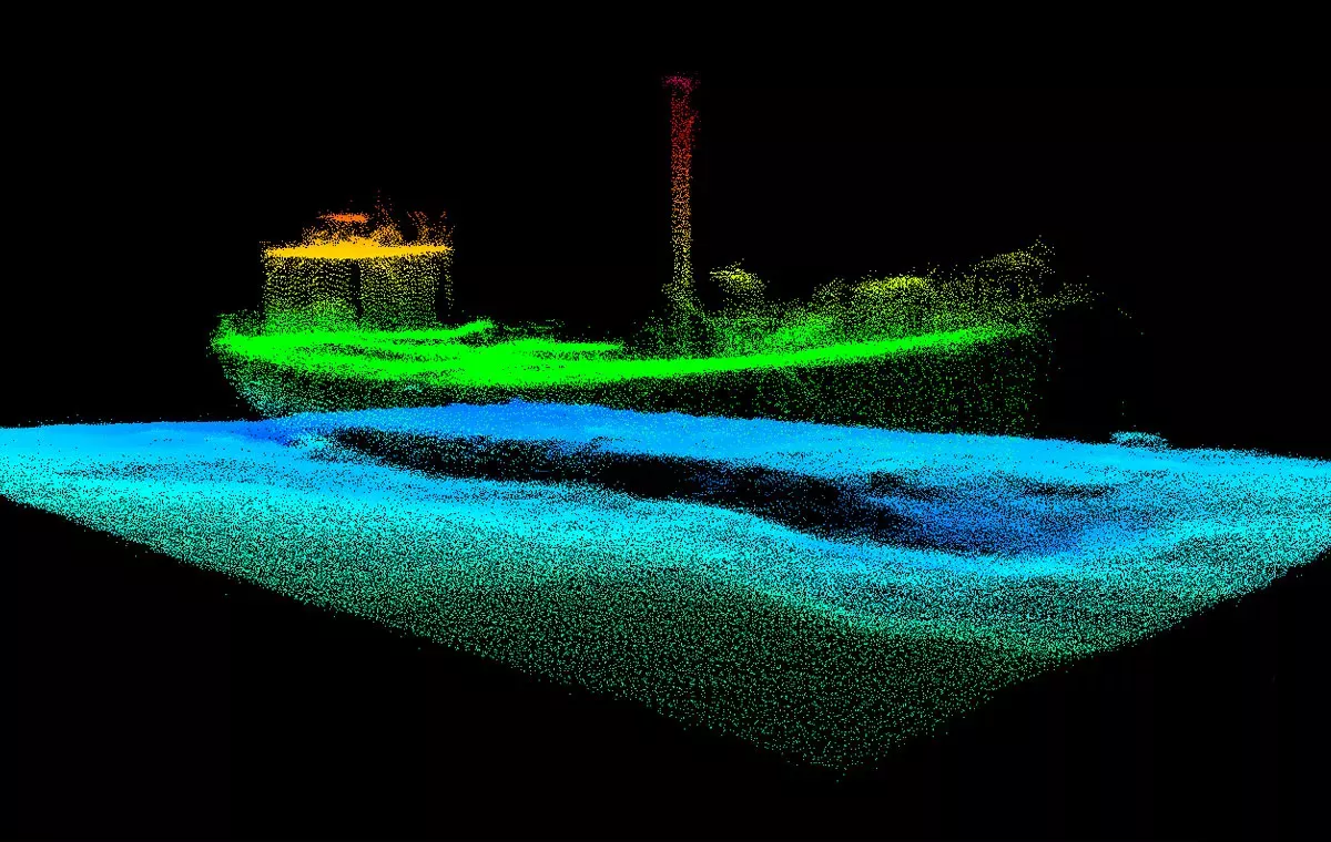
Hydrography is the science that measures and describes the physical features of the seabed, from our oceans and seas, to our coastal areas, lakes and rivers. The primary purpose of hydrography is to support safe maritime navigation, it also enables a range of marine activities from economic development to security and environmental protection.
Why we map the seabed
We may not spend much time thinking about what lies beneath the surface of the water, but the seabed has a bigger role to play in our lives than we might appreciate.
From ocean conservation to climate change, and from national security to economic prosperity, mapping the seabed enables safe maritime navigation for transportation of 90% of global trade and supports sustainable management of the marine environment.
More than 70% of the Earth is covered by water, but only a relatively small proportion has been fully mapped.
Global shipping
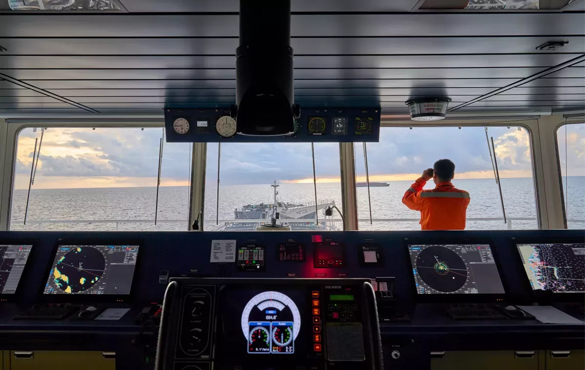
By delivering world-leading navigational products and services, we support safe, compliant and efficient maritime navigation. Today, 90% of large ships trading internationally rely on our ADMIRALTY products and services to help ensure the safety of their vessels, crew and cargo.
With more innovative solutions, faster updates and more granular data than ever, we're ensuring our ADMIRALTY products and services are fit to support navigation today and for generations to come.
Our role in government
We are the UK government’s centre of expertise on hydrography and seabed mapping. We are responsible for fulfilling the UK government’s obligation to provide hydrographic products and services for safe navigation in UK waters to support Safety of Life at Sea (SOLAS).
We also administer the UK Centre of Seabed Mapping, a UK government initiative which aims to increase the coverage, quality and access of seabed mapping data through collaboration.
Serving defence
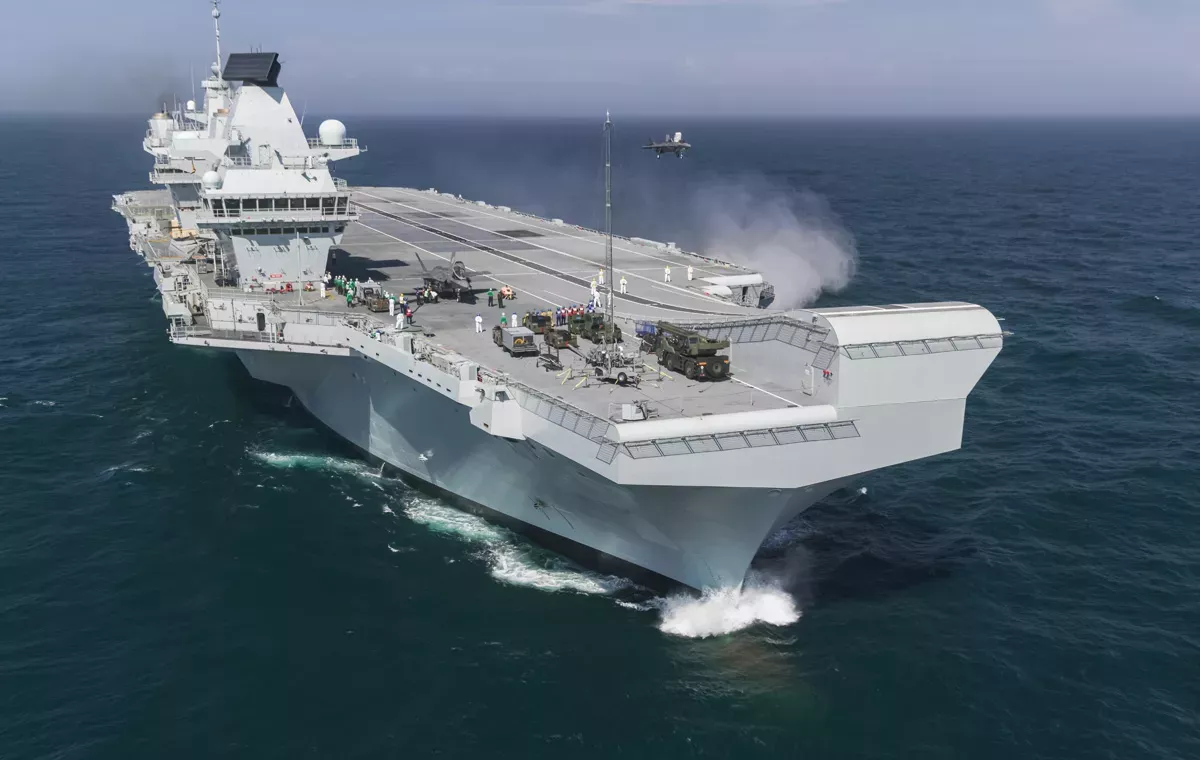
As an executive agency of the Ministry of Defence, ensuring the safety and security of our waters is a vital part of what we do. The Royal Navy and all UK defence vessels – from ships to submarines – rely on our products and services for safe navigation.
International support
We provide extensive hydrographic support to other nations across the globe. We produce the official navigational products on behalf of over 70 nations and as Primary Charting Authority fulfil the charting responsibilities for 63 coastal states, working closely with UK Overseas Territories and Commonwealth nations to help fulfil their marine geospatial data requirements.
Title
How we operate
The UKHO is an Executive Agency of the UK Ministry of Defence (MOD). We have trading fund status, meaning we are self-funded through the sales of our products and services and operate at no additional cost to the taxpayer.
Title
Our people
Based in the heart of Taunton, Somerset, we employ approximately 900 staff including specialist teams and leading experts across a wide range of disciplines. Our teams are led by our Executive Leadership Team with the support of the UKHO Board.
Title
Our public task
Our public task outlines the UKHO’s responsibilities as outlined in our Framework Document. As part of our public task, we are responsible for:
- Fulfilling the UK government’s obligations under the Safety of Life at Sea (SOLAS) Convention
- Supporting the UK’s Integrated Review
- Providing specialist advice and representation to UK government
Work for us
Looking for your next role? Discover a career opportunity with the UKHO.
We are always looking for skilled individuals to join our team and offer a range of challenging and interesting roles across the organisation. We believe people are the key to our success, which is why we support all staff in reaching their full potential. Visit our careers page to find out more about our roles, our specialist teams and what we offer in return as an organisation.
Explore our case studies
Find out more about the work we do at the UKHO with real-world examples of how we're supporting safe, secure and thriving oceans.


