
13 Oct 2021
Search Title
UKHO launches new ADMIRALTY GAM Service
Search Title
UKHO launches new ADMIRALTY GAM Service
Article description
New tool uses AI and machine learning to identify sonar noise in bathymetric data sets and delivers substantial time efficiencies in cleansing and verification tasks
Tags
- Press release
- ADMIRALTY products and services
29 Sep 2021
Search Title
ADMIRALTY B2B SOAP Services retired from the market
Search Title
ADMIRALTY B2B SOAP Services retired from the market
Article description
Decommissioning of the B2B SOAP Services was successfully completed on 28 September 2021.
Tags
- News
- ADMIRALTY products and services

24 Sep 2021
Search Title
Legacy versions of ADMIRALTY NavPac and Compact Data to be retired at the end of 2020
Search Title
Legacy versions of ADMIRALTY NavPac and Compact Data to be retired at the end of 2020
Article description
Users who have not migrated to the latest, digital-only version of ADMIRALTY NavPac and Compact Data must do so ahead of retirement of legacy versions on 31 December 2020
Tags
- News
- ADMIRALTY products and services

23 Sep 2021
Search Title
The digital trends for shipping harnessing geospatial data
Search Title
The digital trends for shipping harnessing geospatial data
Article description
Digitalisation and vast amounts of data is playing a crucial role in shaping the future of the global economy.
Tags
- News
14 Sep 2021
Search Title
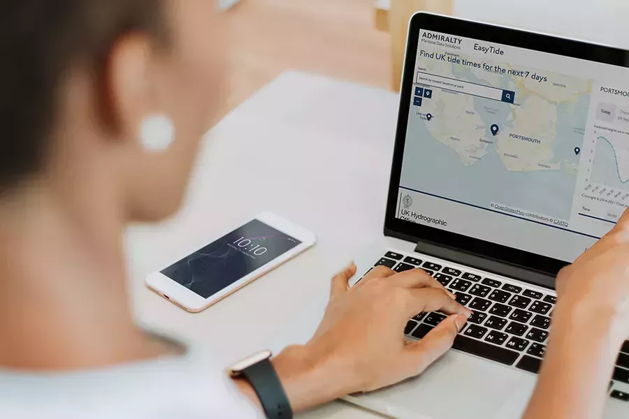
UKHO revamps ADMIRALTY EasyTide with new platform and website
Search Title
UKHO revamps ADMIRALTY EasyTide with new platform and website
Article description
The UK Hydrographic Office (UKHO) has successfully launched its new ADMIRALTY EasyTide platform following extensive research on enhancing its tidal product portfolio.
Tags
- Press release
- ADMIRALTY products and services
1 Jul 2021
Search Title
Nordic Tankers
Search Title
Nordic Tankers
Article description
This case study looks at the use of ECDIS and how AVCS has helped Nordic Tankers to make the transition to paperless navigation.
Tags
- Insight
21 Jun 2021
Search Title
Celebrating World Hydrography Day 2021
Search Title
Celebrating World Hydrography Day 2021
Article description
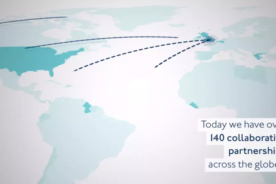
Watch our short video to see how the UK Hydrographic Office has collaborated across the international hydrographic community over the past 100 years.
Tags
- News
21 Jun 2021
Search Title
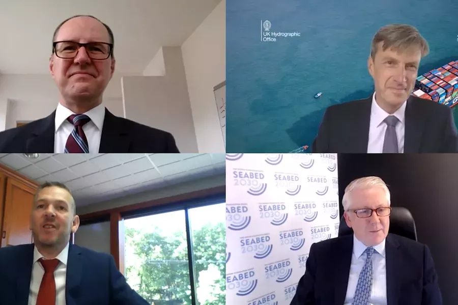
UKHO and Teledyne CARIS partner with The Nippon Foundation-GEBCO Seabed 2030 project
Search Title
UKHO and Teledyne CARIS partner with The Nippon Foundation-GEBCO Seabed 2030 project
Article description
New tool developed by UKHO and Teledyne CARIS will help project to accelerate data processing and build a greater understanding of our world’s oceans
Tags
- Press release
16 Jun 2021
Search Title
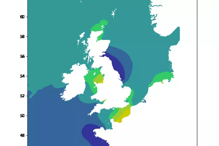
New S-104 and S-111 trial data sets now available on the ADMIRALTY Marine Data Portal
Search Title
New S-104 and S-111 trial data sets now available on the ADMIRALTY Marine Data Portal
Article description
The latest developments in autonomy and connectivity are changing the maritime landscape as we know it. Digital transformation presents challenges and opportunities for our oceans and has direct implications on the future of navigation. Much of this digital transformation will be underpinned by the International Hydrographic Organization’s (IHO) new S-100 framework.
Tags
- Insight
- S-100

28 May 2021
Search Title
UKHO to refresh the ADMIRALTY Leisure Chart Folio service from October 2021
Search Title
UKHO to refresh the ADMIRALTY Leisure Chart Folio service from October 2021
Article description
The current ADMIRALTY Leisure Chart Folio service contains A2-sized charts to support coastal navigation around the UK. Each regional folio includes several charts with appropriate coverage and scales of the respective region, to help leisure yachtsmen, motorboat cruisers, ocean racing skippers and other small craft mariners to maintain safety of life at sea.
Tags
- News
- ADMIRALTY products and services
9 Apr 2021
Search Title
Supporting Seabed 2030
Search Title
Supporting Seabed 2030
Article description
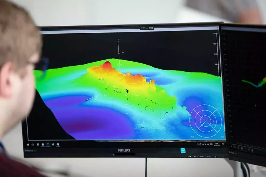
Blog about the Seabed 2030 initiative, which aims to bring together all available bathymetric data to produce a definitive map of the world’s ocean floor by 2030.
Tags
- Insight
- ADMIRALTY products and services

8 Apr 2021
Search Title
ADMIRALTY EasyTide to revamp platform and remove Enhanced Predictions in Autumn 2021
Search Title
ADMIRALTY EasyTide to revamp platform and remove Enhanced Predictions in Autumn 2021
Article description
ADMIRALTY EasyTide is the most comprehensive tidal prediction service on the Web, providing tidal data for over 7,000 ports worldwide, together with a host of other useful information.
Tags
- News
- ADMIRALTY products and services

