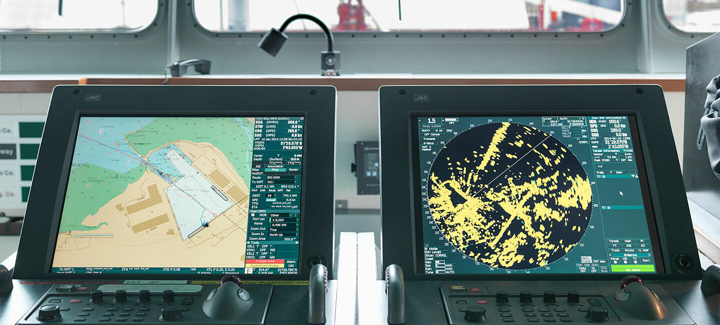
ADMIRALTY ECDIS Service has been withdrawn
The UK Hydrographic Office retired the ADMIRALTY ECDIS Service on 31 January 2024, bringing this service to a close. AVCS and ARCS are still available to purchase separately.
ADMIRALTY Vector Chart Service
The ADMIRALTY Vector Chart Service (AVCS) is the world’s leading official digital maritime chart service, with over 17,000 official Electronic Navigational Charts (ENCs) to help bridge crews navigate safely and efficiently whilst meeting flag and port State requirements.
ADMIRALTY Raster Chart Service
The ADMIRALTY Raster Chart Service (ARCS) provides raster chart coverage of international shipping routes, main ports and harbours in a comprehensive range of scales. Ideal for both bridge crews and shore based users, it combines the familiarity of traditional ADMIRALTY paper charts with the precision of satellite positioning to support decision making.


